

Ocean Use Survey Pilot
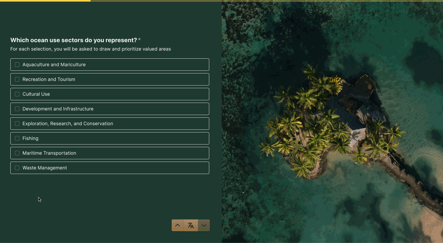
The Blue Prosperity Fiji (BPF) Ocean Use Survey is a Government-led initiative to learn how people use and value the ocean, ensuring that planning efforts are as beneficial and inclusive as possible. The results will help inform the Marine Spatial Planning process by allowing policymakers and communities to better understand the needs and priorities of ocean users.
In June 2024, the BPF Ocean Use Survey was piloted by a locally-based team of facilitators in Vanua Navakavu in the Rewa Province, a recommendation stemming from the Natural Resources Owners Council (NROC) meeting in November 2023. With the support of NROC, BPF worked closely with the Ministry of iTaukei Affairs and the respective Rewa Provincial Council to engage the Vanua of Navakavu. Initial consultations were undertaken with communities to seek approval for the OUS and for the use of customary fishing grounds boundaries on the SeaSketch mapping platform.
Watch the Fiji Ocean Use Survey demo


SURVEY
HIGHLIGHTS
FROM THE FIELD


SUREVEY STATISTICS
135
SURVEY RESPONSES
359
PEOPLE REPRESENTED
297
SHAPES DRAWN
INTERACTIVE
MAPS
INTERACTIVE STORY MAP
View the ArcGIS StoryMap for a brief overview of the project and to view sector-based heatmaps produced from the Blue Prosperity Fiji Ocean Use Survey Pilot in Vanua Navakavu.
INTERACTIVE HEATMAP
Heatmaps produced from the Blue Prosperity Fiji Ocean Use Survey Pilot in Vanua Navakavu can be viewed directly in SeaSketch.


WHO'S
INVOLVED
The Blue Prosperity Fiji Ocean Use Survey questionnaire was collaboratively designed by a Government-led technical Working Group and socialized broadly with topical experts from April 2022 - March 2024. At the final workshop in March, the strategy for the pilot implementation of the Ocean Use Survey project in Vanua Navakavu was developed. The technical group included representation from the Attorney General's Office, Fiji Navy, Ministry of Environment and Climate Change, Ministry of Fisheries and Forestry, Ministry of iTaukei Affairs, National Trust of Fiji, the Waitt Institute, and the McClintock Lab at the University of California, Santa Barbara.
SUPPORTING PARTNERS


Ocean Use Survey Technical Working Group, March 2024